Check out our TeleGAN Prototype App
Visualize satellite data for Mexico and Guatemala, enhancing decision-making and education.
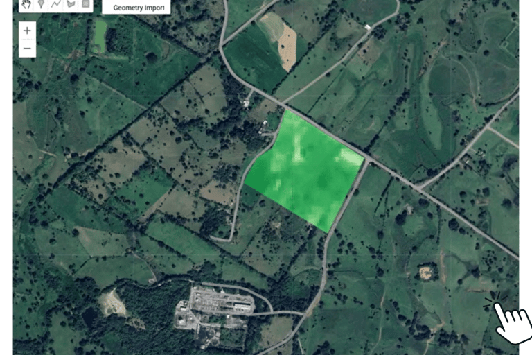
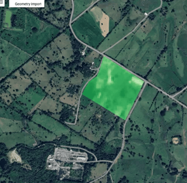
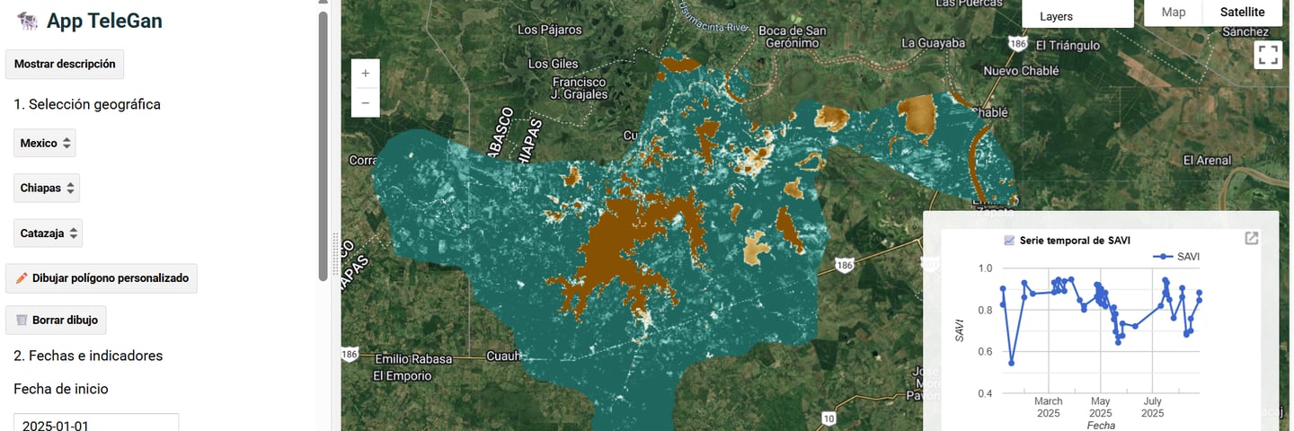
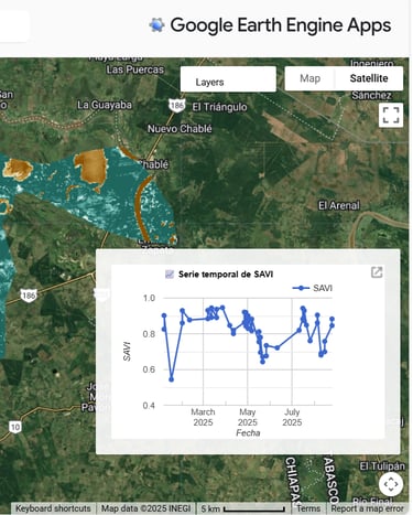
Explore pasture conditions across Mexico and Guatemala and experiment with farm-scale analysis, right in your browser! The TeleGAN prototype (built on Google Earth Engine) lets you visualize vegetation cover (NDVI & SAVI), moisture (NDMI), elevation and temperature with data available at municipal scale and tools to draw and analyze your own plots at the farm scale. It’s already powering case studies, trainings, and functionality testing across the project!